Build a new course

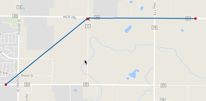
- Zoom and adjust the map position to your starting location, then click the starting point on the map to mark the beginning.
- Click any point on the map from your start to the next destination to route the course.
- This can be the next turn on the course or a further point, as the map will automatically route the directions to this point based on your routing preference (bicycle, driving, or walking directions). - Continue clicking points along the way to complete the course.
- To simply route the course back to the start, click theicon and choose from direct (shortest route back) or out and back (returns on same route).
- To view the elevation profile, click the elevation pop up on the bottom of the map. To view overall ascent, use the refresh button to update the ascent as you build the course.
- Fill out the Details sidebar on the left side of the course builder to include details about your planned ride, such as ride name and searchable tags.

Editing the route:
- Drag a point: To move a point, click and hold the point, then drag it to the desired location
- Add a point: To add a point on the route in order to adjust a smaller selection, click and hold your desired point along the route.
- Edit a set of points: To move a range of points, click the cut icon
and select a starting and end end point for the section you would like to adjust. Once you've selected the end point, the course will show a direct line between the two and a point in which you can drag to a new location to re-route this section of course.

Editing an imported course
Imported courses do not have any marked points, with only the start and ending existing as points in the track. Points can be added to the course by clicking and holding the mouse where you'd like to add a point, then dragging this point to your desired location.
Note that courses that contain GPS points that don't adhere to mapped roads, trails, or paths may not be able to be adjusted correctly without using the manual adjustment option. To adjust a section manually, first switch the routing option from 

Course Navigation
Course directions are added in text format as the course is built and can be fully customized within the course. Users can also manually add points of interest and additional directions, as well as modify the text and icons associated with each.
Toggle on markers (Directions, Points of Interest) to view these points on the map
- Click the directions/points of interest side bar to view text and directional icons associated with the route.

Directions
Direction waypoints can be viewed on the map by toggling on map markers or using the Directions/points of interest side bar to view all directions as a list.
- View directions: Using the right side bar, you can view all directions and points of interest, or filter to just show directions.
- Edit directions: Toggle on directions and then click the directions icon
to view or update the text, including the directions icon used.
- Add directions: Use the plus icon
and select
- To return to writing new points on the route, click the write icon.

Points of Interest
- Add POI: Use the plus icon
- To return to writing new points on the route, click the write icon - View POI: Toggle on Points of Interest markers on the map or use the Directions/points of interest side bar to view all added points of interest in a list format.
Settings
Routing Mode
Directions preference: Toggle one of these options to use Google's preference bicycling, driving , or walking routes when routing from point to point. By default, avoid highways will also be selected. If your planned route must include highways, uncheck this setting here.
Reverse route direction: Adjusts all points to reverse the direction of the course.


Other Adjustments:
Undo: Undo last point or adjustment made to the course.
Clear all points: Deletes all course data.
Zoom to fit: Adjusts map zoom to fit the entire course.